Veteran-Owned · FAA Part 107 · Commercially Insured · Rapid Response
850-803-7663
Aerial Photography & Video
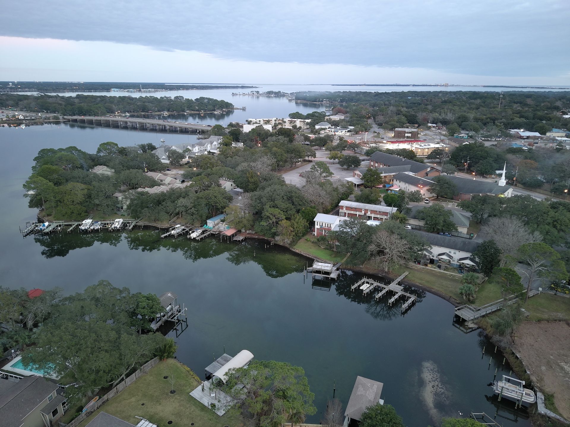
High-Resolution Aerial Imagery & Stabilized 4K Video.
Ground-level photos can't communicate scale. They can't show a jury the layout of an intersection, can't give an investor the full picture of a property, can't capture the surrounding conditions an insurer needs to evaluate a claim. By the time you realize the angle you needed, the moment is gone.
The Problem
What you're up against
Ground-level photos can't communicate scale. They can't show a jury the layout of an intersection, can't give an investor the full picture of a property, can't capture the surrounding conditions an insurer needs to evaluate a claim. By the time you realize the angle you needed, the moment is gone.
What's at Stake
The cost of waiting
Demonstrative exhibits get objected to because they don't show enough context. Baselines never exist when a storm or incident finally requires them. Marketing reels look amateur. And expert witnesses end up describing what they wish they could show, instead of pointing at it.
How We Solve It
Our approach
Stabilized 4K video, high-resolution RAW stills, and top-down orthographic frames captured by FAA Part 107 pilots — all with hashed originals and edited highlight cuts ready for legal review, investor decks, or claims files. Precise, unbiased visuals that say what ground-level imagery never could.
What You Receive
Every engagement, packaged for legal review
Defensible, organized, and easy to hand to a paralegal, expert, or court.
Frequently Asked
Aerial Photography & Video — FAQ
Are the still photos and video usable as evidence?
+
Yes. Originals are SHA-256 hashed at capture, preserved unedited, and accompanied by a flight log, GPS metadata, and pilot Part 107 certification. We also produce edited highlight cuts for presentation while keeping originals untouched.
How quickly can a baseline shoot be scheduled?
+
Most non-urgent baseline shoots are scheduled within 3–5 business days. Time-sensitive captures (weather window, listing deadline, pre-construction) are typically same-week.
What does aerial photography & video cost?
+
Pricing depends on site size, deliverables, and edit complexity. Most single-site shoots fall within a predictable flat-rate range and are quoted in writing before launch.
Can you shoot in controlled airspace or at night?
+
Yes. We hold the necessary FAA waivers and routinely coordinate LAANC for controlled airspace around Pensacola NAS, Eglin AFB, Hurlburt Field, Duke Field, and the Panhandle's commercial airports.
Do you provide raw files or only edited footage?
+
Both. You receive the unedited 4K originals, RAW stills, and an edited highlight cut. Native files are preserved for chain-of-custody if needed later.
Request Documentation
Request aerial photography & video
Tell us what happened, where, and your deadline. We'll confirm scope, ETA, and pricing — usually within minutes during business hours.
Don't Lose The Scene
Need aerial photography & video now?
Rapid-response, court-ready coverage across the Florida Panhandle. Available 7 days a week.